Lake Brunner Walking Tracks


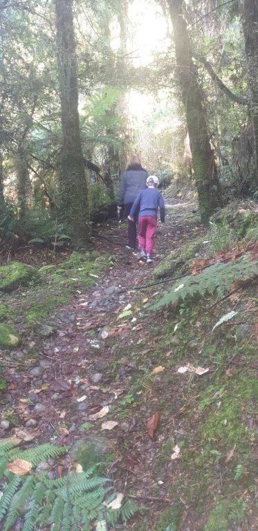
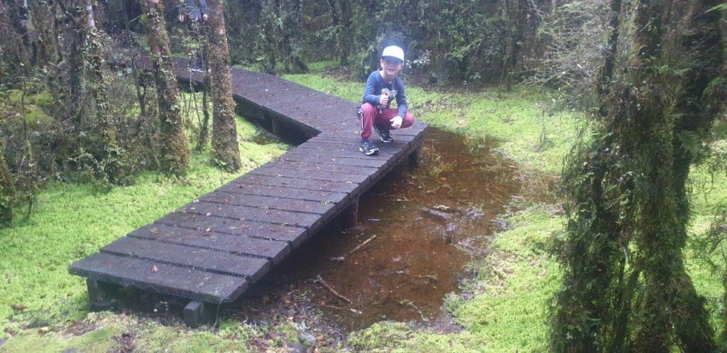
There are some beautiful walks in the area from 10 minutes to 6 hours and for all levels of fitness. For further information on these walks enquire at Reception or DOC.
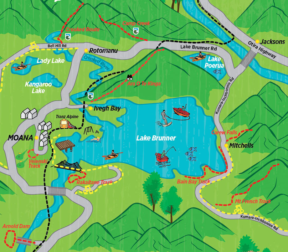
Velenski Track
TIME: 20 min one way
GRADE: Easy
ACCESS: Sign posted in Taku Street, Moana.
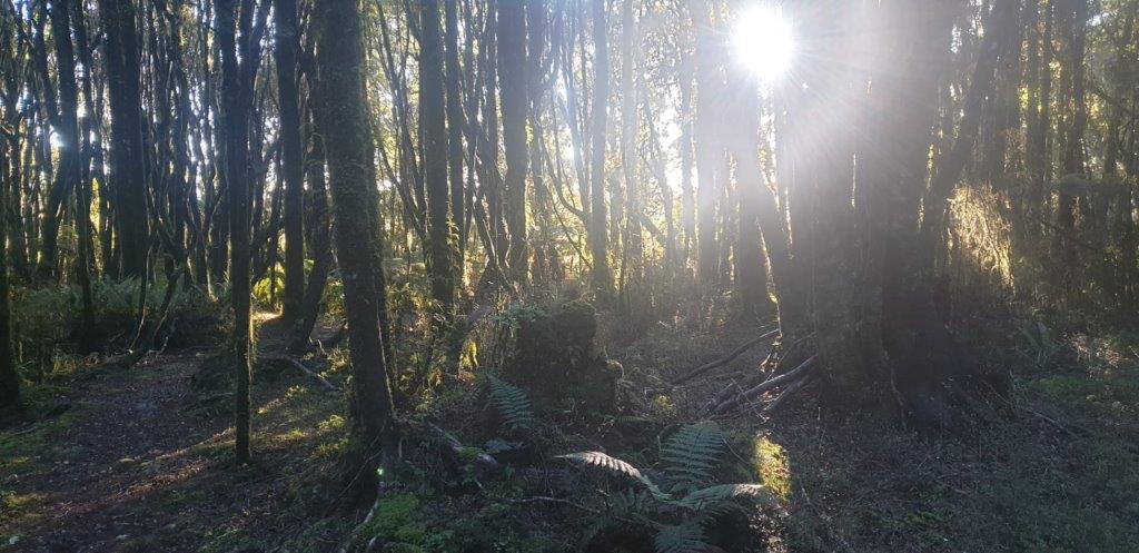
Views of Lake Brunner. Birds, native trees and orchard, glow worms.
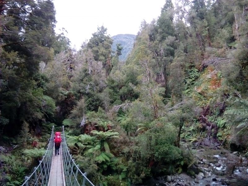
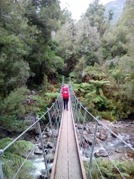
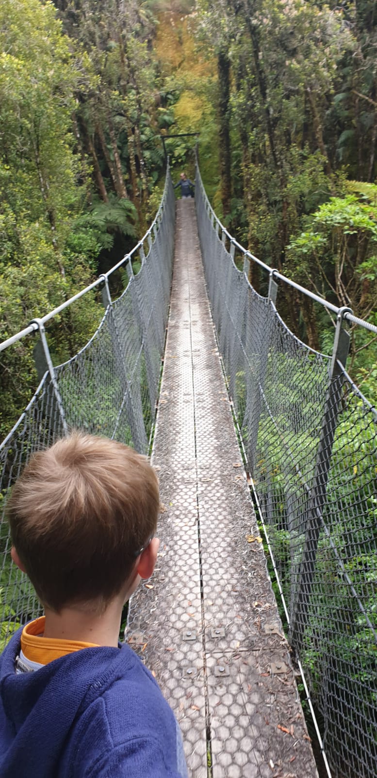
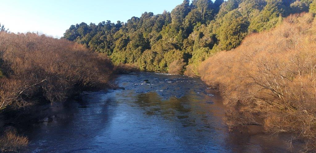
Rakaitane Track
TIME: 45 min loop walk
GRADE: Easy
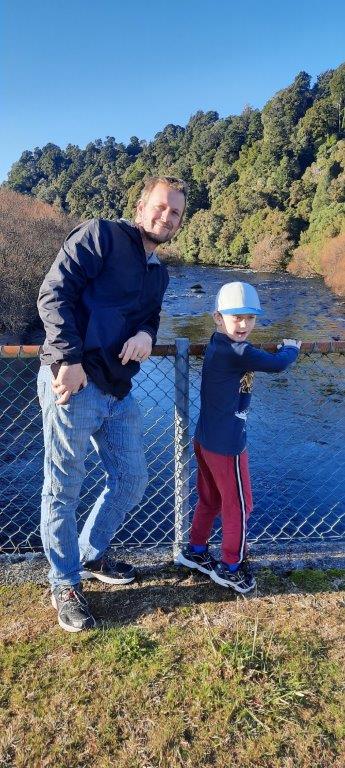
ACCESS: Over the Arnold River, outlet of the lake, via the swing bridge. Sign posted to your right.
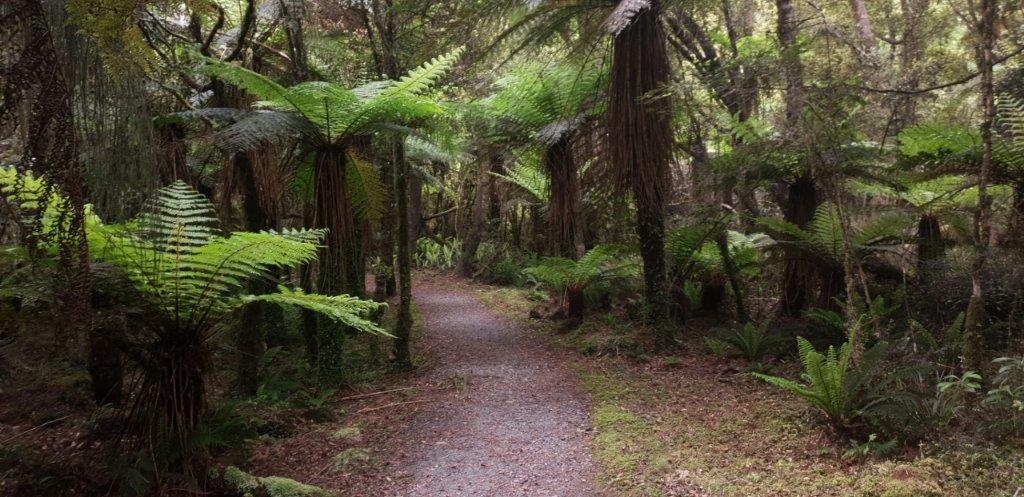
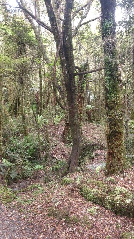
Mixed Podocarp forest with views of the Arnold River.
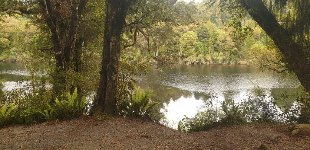
Lake Side Walk
TIME: 60 min
GRADE: Easy
ACCESS: Cross the Arnold River swing bridge then turn to your left.
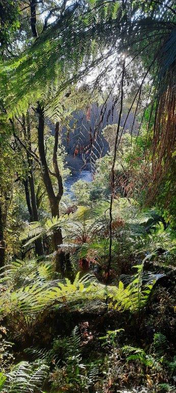
Spectacular views of the lake, mountains and the Arnold River. Picnic on the lake shore.
Bain Bay Track
TIME: 2 hours return
GRADE: Easy
ACCESS: Starts at the lake side in front of Lake Brunner Lodge, Mitchells, on the southern end of the lake.
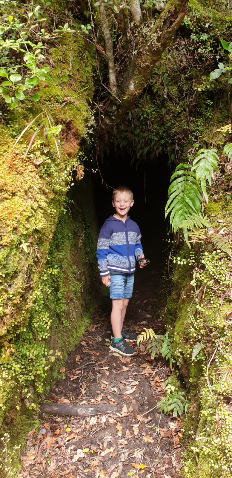
Across board walks through native bush. Magnificent views of the lake. Old relics of timber mills at Bain Bay. Good swimming, picnic area and toilets.
Arnold Dam Walkway
TIME: 45 min loop
GRADE: Moderate
ACCESS: 7 kilometres towards Greymouth from Moana, starting at the Arnold Dam Power Station.
Views of the river and dam.
Carew Falls Track
TIME: 1 hour return
GRADE: Moderate
ACCESS: 50 metres from Lake Brunner Lodge, Mitchells, on the southern end of the lake.
A gentle climb on a well formed track. Mixed Podocarp forest. The track climbs more steeply leading onto the rocks below the impressive falls.
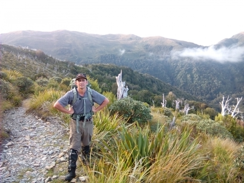
Ara 0 Te Kinga Track
TIME: 1 hour return to first lookout; 3 hours return to 3rd lookout point, 6-7 hours return to the summit of Mt Te Kinga.
DISTANCE: 5.4 km return (to lookout), 12.4 km return (to summit).
ACCESS: lveagh Bay, Lake Brunner.
A tramping track leads from the picnic area to 3 lookout points overlooking lveagh Bay and surrounding landscape.
From 3rd lookout point, the marked route continues on and leads up to the open tussock tops of Mt Te Kinga (a good level of fitness is required for the summit).
Mt French
TIME: 8 hours return
GRADE: Rough terrain, 7 km return
ACCESS: Approximately 5 km west of Mitchells on the lnchbonnie-Kumara Road.
The steady climb to the top of Mt French (1305m) on the Hohonu Range is a full day tramp on an unformed route, but on a fine day the views down to Lake Brunner and inland to the Southern Alps reward the effort. The route is well marked, passing through mixed lowland Rimu forest.
Camp Creek Route
TIME: 3 hrs (to hut)
DISTANCE: 3 km (to hut)
TIME: 8 – 10 hrs (to summit)
The route crosses the creek shortly before reaching Camp Creek Hut and then climbs very steeply onto the tops and a long ridge leading to the summit of Mt Alexander. Spectacular 360 degree views reward the tramper after a long and steep climb.
Crooked Route
TIME: 6 hrs to Jacko Flat Hut, 2 hrs from Jacko Flat Hut to Top Crooked Hut
GRADE: Experienced
ACCESS: Permission needs to be obtained from the owner – R.W. Burgess, phone +64 3 738 0177.
The route to Jacko Flat Hut follows the Crooked River and is very rough and steep in places, but passes spectacular gorges and rapids, intermingled with deep, blue pools of still water.
Ask locally about further track/walks within 1 hour of the lake.